Consistency
The term “Consistency” in the fields of engineering geology and geotechnical engineering means the degree of adhesion between soil particles within a sample, that are observed to resist deformation or rupture.
The term “Consistency” in the fields of engineering geology and geotechnical engineering means the degree of adhesion between soil particles within a sample, that are observed to resist deformation or rupture.

Epicenter Epicenter: In the seismology branch of geology, an epicenter of an earthquake is the point on Earth’s surface that is directly above the focus (or hypocenter). It is the ground surface location overlying where an earthquake rupture originates within a dip-slip fault or strike-slip fault. Shortly after an earthquake, United States Geological Survey (USGS)…
Licensed Professional Geologist A “Licensed Professional Geologist” or a “Certified Professional Geologist” is a person who is certified by a State and/or Federal agency (such as the California Department of Consumer Affairs, Board for Professional Engineers, Geologists & Land Surveyors), and has proven be educated, formally trained and professionally competent per government standards, to practice…
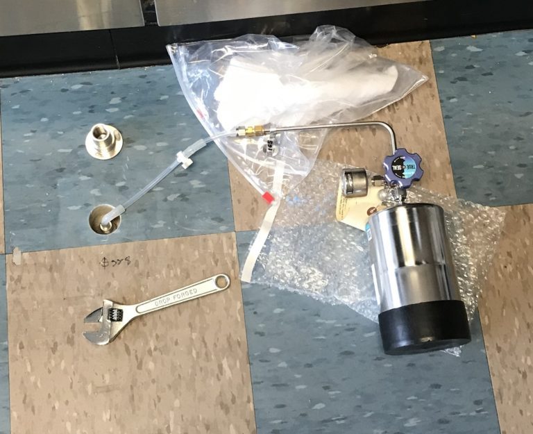
Methane Mitigation Soil Gas Pressure Sensor Methane Mitigation Soil Gas Pressure Sensor: A Methane Mitigation Soil Gas Pressure Sensor is a device that measures and communicates sub-slab soil gas pressure to a methane control panel system. High levels of methane soil gas then trigger the integrated methane alarm system to notify occupants of danger. Much…
Perforated Horizontal Pipe in Methane Mitigation Perforated Horizontal Pipe: As per the Los Angeles Department of Building and Safety (LADBS) Methane Code, Ordinance Number 175790, a perforated horizontal pipe is a PVC or ABS pipe that contains a series of small holes or narrow openings placed equidistantly along the length of the pipe, and is…
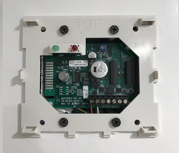
Single Station Methane Gas Detector Single Station Methane Gas Detector: As per the Los Angeles Department of Building and Safety (LADBS) Methane Code, Ordinance Number 175790, a single station methane gas detector is a device consisting of electrical components that are capable of measuring methane soil gas concentrations indoors, and initiating an alarm. The single…
Petroleum Extraction Well (Oil Well) Petroleum Extraction Well (Oil Well): A petroleum extraction well, or an oil well, is a deep borehole or shaft sunk into the Earth for the exploration of oil or gas. Additionally, injection wells are often drilled to inject fluids or gas for stimulating oil recovery, re-pressurizing or pressure maintenance of…