Moment Magnitude (M)
Moment Magnitude (M): In the seismology branch of geology, moment magnitude is the magnitude of an earthquake that scientists estimate by using the Seismic Moment.
Moment Magnitude (M): In the seismology branch of geology, moment magnitude is the magnitude of an earthquake that scientists estimate by using the Seismic Moment.

Time Stratigraphic Unit Definition A Time Stratigraphic Unit, or a Chronostratigraphic Unit, is a rock unit that is characterized by geological formations, during a specific period of time. This serves as a reference for all rocks formed during the same time period.

Monoculture Definition The term “Monoculture,” in the fields of farming and agriculture, refers to a cultivation system that comprises only one organism. For instance, an entire crop field that only grows carrots. In a monoculture, there is no symbiosis between different species. As a result, there isn’t any comingling with other organisms. In fact, for…

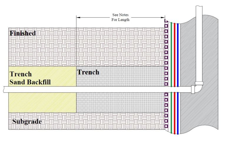
Trench Dam Trench Dam: Per the Los Angeles Department of Building and Safety (LADBS) Methane Code, Ordinance Number 175790, a trench dam is part of a methane mitigation system. A trench dam is essentially a subsurface barrier that exists within a furrow or ditch, that is adjacent to the foundation of a building in a…

Dry Density (ρd) “Dry Density” (ρd) is a value that represents the density of soil when it is completely dry. To illustrate, it equates to (“bulk density” / 1) + “water content.” This is a common geotechnical engineering laboratory procedure. Dry Density Formula Dry Density = [(Bulk Density ÷ 1) + (Water Content)]

Thrust Fault Thrust Fault: In the field of geology, a thrust fault is a reverse fault in which the fault plane dipping angle is less than 45 degrees. Thrust faults are dip-slip faults, and can also be listric faults. For instance, the fault underlying the western embankment of the historical St. Francis Dam in Saugus,…

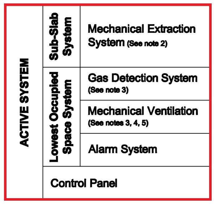
Active Methane Mitigation Active Methane Mitigation: Active systems refer to the mechanical and electrical components of a methane mitigation system. In fact, the definition of an Active System is available in Methane Code (Ordinance No. 175790). This is a publication by the Los Angeles Department of Building and Safety (LADBS). Moreover, further descriptions of an…