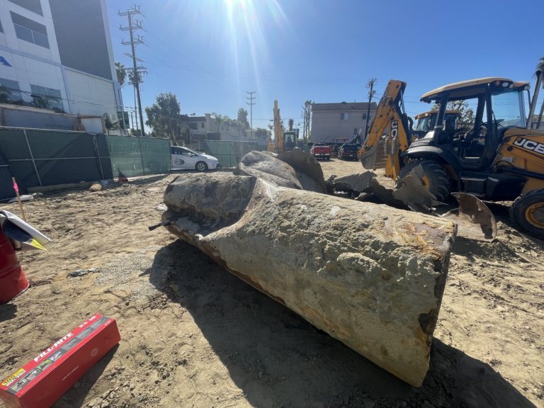
Settlement Definition
In the field of geology, The term settlement means a gradual downward movement of the ground surface. This is generally due to soil compression at on a larger scale, atdepths that are below the ground surface.
In the field of geology, The term settlement means a gradual downward movement of the ground surface. This is generally due to soil compression at on a larger scale, atdepths that are below the ground surface.

Engineering Geology or Geological Engineering Engineering Geology: Engineering geology is also referred to as “geological engineering,” and is a branch of geology that relates to the study of earth materials and processes, that are juxtaposed to proposed structures such as buildings, retaining walls, dams, roads, pipelines, and more. Whereby geologists assess any potential levels of…

Underground Storage Tank (UST) Underground Storage Tank (UST): An underground storage tank (UST) is a confined container occupying any volume of space within the subsurface, for the purposes of storing liquid. Underground tanks typically support commercial and residential services and have filling ports, ventilation pipes, and connecting product pipelines. Underground storage tanks (USTs) come in different…

Vapor Intrusion Vapor Intrusion occurs when harmful soil contamination changes phase from liquid to vapor underground and moves upward through geologic layers and building foundations, accumulating within indoor air.

What is a Concrete Arch Dam? A Concrete Arch Dam is a curved freshwater-retaining structure that is concave in the hydro-geologically down-gradient direction, and uniformly thick from the base to top. With Concrete Arch Dams, a major part of the water load value gets distributed to the abutments of the dam. Thus, Concrete Arch Dams…

Monoculture Definition The term “Monoculture,” in the fields of farming and agriculture, refers to a cultivation system that comprises only one organism. For instance, an entire crop field that only grows carrots. In a monoculture, there is no symbiosis between different species. As a result, there isn’t any comingling with other organisms. In fact, for…

What is a Concrete Slab and Buttress Dam? A Concrete Slab and Buttress Dam is a freshwater-retaining structure comprising reinforced concrete slabs that are supported in-place by buttresses. The foundation of a Concrete Slab and Buttress Dam receives a large load. Thus, the foundation must be structurally sound, impervious, and competent. The alternative types of dams…