“Test” Definition in Paleontology
In the field of paleontology, a subsidiary of geology, the term “test” refers to the external hard part of an invertebrate.
In the field of paleontology, a subsidiary of geology, the term “test” refers to the external hard part of an invertebrate.

Provenance Provenance: In the field of geology, and the branch of geomorphology, the term “provenance” means the place of origin from which the constituent materials of sedimentary rock or facies are derived.
U-Shaped Kitchen U-Shaped Kitchen: A U-shaped kitchen, or a horseshoe kitchen, is a general kitchen plan layout with counters, walls, and cabinets that generally form a square-like or rectangular-like shape of the letter “u.” In the State of California (and other states with similar building code standards), U-shaped kitchens must have a minimum of 60-inches…
Darcy’s Law In the field of geology, Darcy’s Law is the universal and basic equation representing groundwater flow through a study area. Darcy’s Law Formula Q = KiA The following variables and coefficients apply to this formula: “K” = Hydraulic Conductivity; “Q” = Discharge Rate; “A” = Area of Cross-Section that Water Flows;
Water Table Water Table: In the hydrogeology branch of geology, the water table represents the surface of an unconfined groundwater aquifer, where the hydraulic pressure is equal to atmospheric pressure. Additionally, a water table is present in a perched groundwater zone. Although, there is no water table in a confined aquifer.
Environmental Law Environmental Law refers to the various categories of law that are put in place to protect the quality and condition of the earth and the environment. This sect of law aims to protect the well being of people and to preserve the earth’s natural resources, reserves, and wildlife. In fact, environmental laws apply…
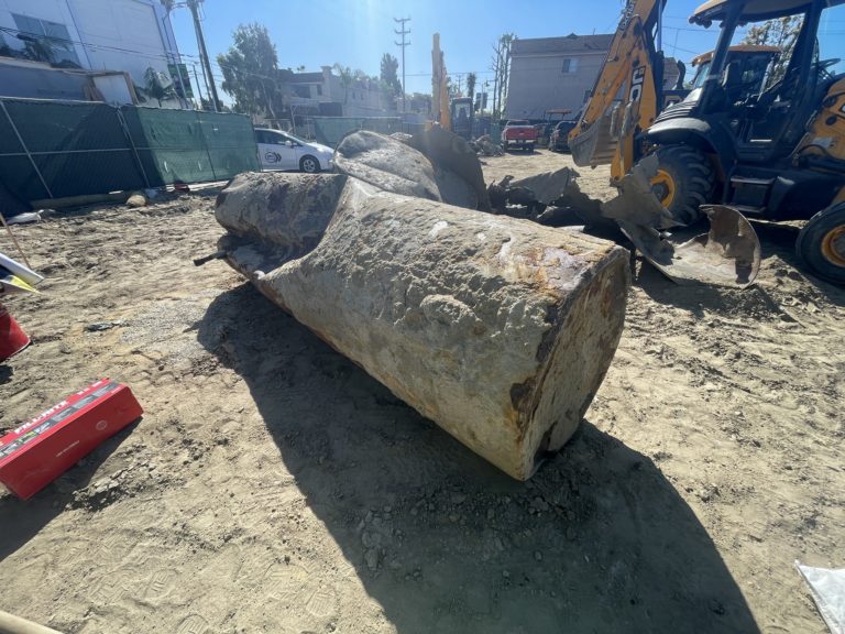
Leaking Underground Storage Tank (UST) Leaking Underground Storage Tank (LUST): A leaking underground storage tank (LUST) is a known case of hazardous liquid materials released into the environment, from within an underground storage tank (UST) source. The term “LUST” commonly applies to gasoline station soil contamination cases overseen by environmental regulatory agencies. Also See: Underground…