Direct Shear Test
A Direct Shear Test is a geotechnical engineering laboratory procedure that measures the shear strength value of a soil sample.
A Direct Shear Test is a geotechnical engineering laboratory procedure that measures the shear strength value of a soil sample.

Regional Metamorphism Regional Metamorphism: Metamorphism acts over large areas resulting from applied pressures of 3,000 to 10,000 bars and temperatures of 400°C to 800°C. Regional metamorphism is also referred to as dynamothermal metamorphism.
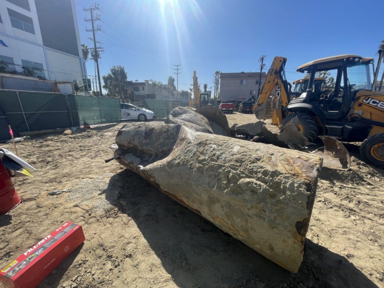
Underground Storage Tank (UST) Underground Storage Tank (UST): An underground storage tank (UST) is a confined container occupying any volume of space within the subsurface, for the purposes of storing liquid. Underground tanks typically support commercial and residential services and have filling ports, ventilation pipes, and connecting product pipelines. Underground storage tanks (USTs) come in different…
Listric Fault Listric Fault: In the field of geology, a listric fault refers to a fault with a curved fault plane. Most listric faults comprise a steeply dipping section near the surface. But the fault plane becomes increasingly flat with depth. Listric faults can be normal faults or reverse faults.
Adsorption “Adsorption” in geology, refers to the attraction and adhesion of the ions or molecules of a solution, onto the surface of a solid.
Type Section Geologic Definition In geology, the term “type section” refers to a specific stratigraphic unit, that can be compared to other parts of the geologic unit. For a type section, it’s preferred to describe the location where the geologic unit has the maximum thickness, and where the top and bottom units are observable.
Mechanical Extraction System Mechanical Extraction System: Per the Los Angeles Department of Building and Safety (LADBS) Methane Code, Ordinance Number 175790, a Mechanical Extraction System is one of the Active Methane Mitigation criteria for methane mitigation systems in buffer zones and methane zones. A mechanical extraction system uses machines that remove methane gas from below…