Hollywood, CA Quadrangle 2018 USGS 7.5 Minute Topo Map
To download the Hollywood, CA Quadrangle 2018 USGS 7.5 Minute Topo Map, please use the link below.

To download the Hollywood, CA Quadrangle 2018 USGS 7.5 Minute Topo Map, please use the link below.
Soil pH Test Strips The pH of soil can be measured using a variety of different devices, or pH testers, which can quickly indicate to a user the pH of their soil. Soil ph test strips determine a numerical value indicating the acidity or alkalinity of soil. The pH scale ranges from 0 to 14,…
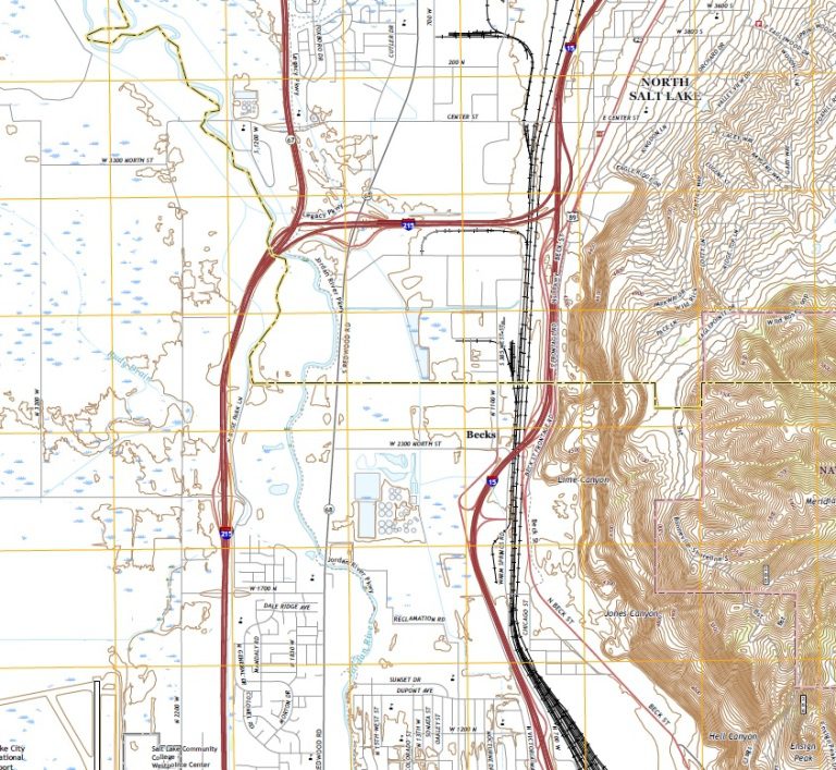
Geology of Northern Salt Lake City, Utah This post summarizes the basic geology of the northern region of Salt Lake City, Utah. Some geological and hydrogeological data may be incomplete or pending review. Nonetheless, students, geologists, and earth scientists are welcome to openly use, critique, and contribute information. To do so, please refer to the…
USGS 7.5 Minute Long Beach, CA Quadrangle 2018 Topo Map To download the 2018 United States Geological Survey USGS 7.5 Minute Long Beach, CA Quadrangle Topo Map, please use the link below. PDF Download – USGS 7.5 Minute Long Beach, CA Quadrangle 2018 Topo Map
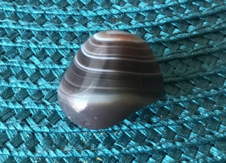
Agate Types & Geological Properties of the Agate Crystal The agate crystal is a microcrystalline-quartz mineraloid that has a lustrous display of multi-color banding and results from long-term accumulations of siliceous groundwater deposits in rock cavities. Much like other mineraloids, all agate types form over thousands of years inside the existing voids of other igneous,…

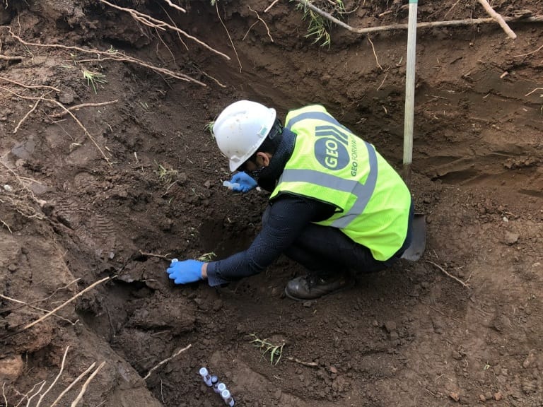
The Attire of a Geologist: Things that Geologists Wear and Use The attire and tools of a geologist vary depending on their sector of work and responsibilities. However, most geologists need specialized gear, technology, and equipment to execute their tasks. This article aims to discuss the attire and tools that geologists wear and use. Updated…

Fire Opal Gemstone – Geology & Mineralogy Information Fire Opal is an amorphous mineraloid comprising an accumulation of tiny hydrated silica spheres that produce a dominant reddish-orange spectrum upon light reflection. Although it is commonly misclassified as a “mineral,” fire opal is actually not a mineral because it does not have its own crystalline structure….