Underground Utility Locating & Mapping
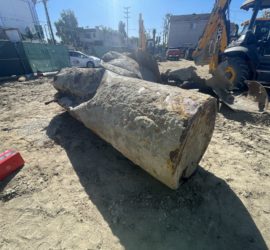
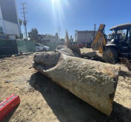
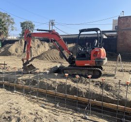
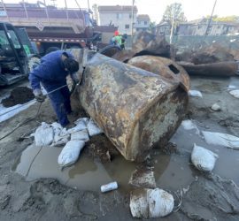
Geo Forward offers underground utility-line locating and subsurface mapping for job sites undergoing construction, drilling or excavation. Identifying any pipeline, conduit/wire, UST, void, leach system and more (prior to breaking ground), is crucial to minimize the risk of public/worker safety, property damage and construction loss. Underground surveying and mapping is also a faster method of identifying known utilities rather than excavating exploration pits.
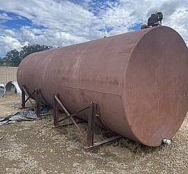
Contractors are aware to contact Underground Service Alert (USA) DigAlert at least two working days prior to begging any digging or excavation work. Generally, the scope of DigAlert markings are limited to the public right of way. In most cases, independent utilities (sewer laterals, onsite storm-water systems, pipelines, storage tanks, clarifiers, septic systems, water lines, etc) on private property are not the responsibility of DigAlert.
Geo Forward conducts these services in the public right-of-way, and on private property to clarify underground conditions. The applied surveying methods are based on geophysical methodology and are contracted with licensed professionals. Geo Forward’s utility location maps are reviewed and certified by a licensed professional geologist.

